
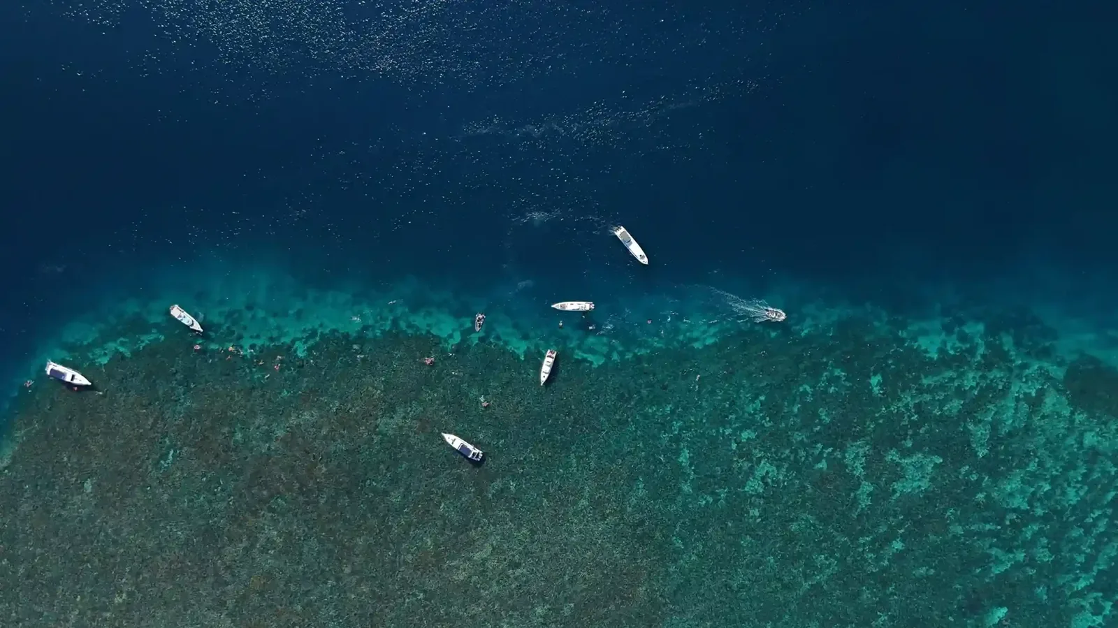
Lombok Diving Maps: Navigating Lombok’s Waters with Interactive Tools
Interactive diving maps revolutionise how divers experience Lombok’s waters, offering detailed insights and easy navigation of dive sites.
Lombok Diving Maps: A New Era in Underwater Exploration
In recent years, the introduction of interactive diving maps has transformed the diving experience around Lombok. These maps provide divers with detailed information on various sites, making it easier to plan and navigate their underwater adventures. With accurate depictions of currents, depths, and marine life, divers can now explore with confidence.
Lombok, an island in Indonesia, offers an array of diving opportunities that cater to both novice and experienced divers. The diving maps available today are a significant advancement from traditional paper maps, embracing digital technology to offer real-time data. These maps are accessible via smartphones or tablets, allowing divers to access crucial information before and during their dives. The maps cover popular sites like the Gili Islands, renowned for their coral reefs and diverse marine life, and the challenging dive spots near Belongas Bay, famous for its hammerhead shark sightings.
Benefits of Using Interactive Dive Maps
Interactive dive maps offer several advantages:
- Detailed Site Information: Comprehensive data on each dive site, including depth profiles and marine life. For instance, divers can find information on the depth range of 5 to 40 metres at the Gili Islands, where vibrant coral gardens thrive alongside turtles and reef sharks.
- Real-time Updates: Access to the latest conditions such as water temperature and visibility. These updates are crucial, especially during the rainy season from November to March, when conditions can change rapidly. Divers can adjust their plans according to the visibility, which can fluctuate from 10 to 30 metres.
- Customisable Routes: Plan personalised diving itineraries based on skill level and interests. For example, a diver interested in macro photography can select routes highlighting sites like Sekotong, known for its critters such as pygmy seahorses and nudibranchs.
- Enhanced Safety: Information on currents and potential hazards ensures safer diving experiences. Areas like the south coast of Lombok, known for strong currents, are mapped out with warnings, allowing divers to avoid potentially dangerous situations.
Navigating Lombok Dive Sites with Confidence
Using these maps, divers can easily navigate Lombok’s diverse dive sites, from the vibrant coral reefs to the mysterious shipwrecks. The ability to preview dive routes and conditions minimises surprises and maximises enjoyment. For instance, the USAT Liberty Wreck in Tulamben, Bali, a popular excursion from Lombok, is detailed on these maps, showing entry points and areas of interest, such as the bow and stern, where marine life congregates.
For those interested in exploring more about Lombok diving, our comprehensive diving guide offers in-depth information on various dive locations. This guide includes advice on the best times to dive, with the dry season from April to October offering optimal conditions.
Exploring Lombok’s Rich Marine Biodiversity
Lombok is known for its rich marine biodiversity, home to an array of species that attract divers worldwide. Interactive maps highlight key areas where unique marine life can be found, aiding in the protection and appreciation of these underwater environments. The maps feature locations such as Kuta Lombok, where divers can encounter everything from manta rays to tiny shrimps, emphasising the ecological importance of these habitats.
The maps also provide educational resources, linking to databases that describe species found in specific areas, helping divers identify and learn about the creatures they encounter. This feature not only enriches the diving experience but also promotes awareness and conservation efforts.
2027 Note: Technological Advancements in Diving
As of 2027, the use of technology in diving continues to evolve. Interactive maps are becoming more sophisticated, offering augmented reality features that enhance the underwater experience. Divers can expect even more interactive elements as technology advances. For example, some maps now include virtual reality previews of dive sites, allowing divers to virtually explore a site before physically diving.
These technological advancements are complemented by improvements in dive equipment, such as dive computers that sync with maps to provide real-time data on air consumption and dive profiles. This integration further enhances safety and planning, making diving a more accessible and secure activity.
To learn more about frequently asked questions regarding Lombok diving, visit our dedicated FAQ page.
FAQ
Are there interactive maps available for divers in Lombok?
Yes, interactive maps are available for divers in Lombok, providing valuable information on dive sites and conditions. These maps are designed to be user-friendly, with intuitive interfaces that allow divers to quickly access the information they need.
What features do Lombok diving maps usually include?
Lombok diving maps typically include site depth, marine life information, current conditions, and safety warnings, enhancing the diving experience. Some also offer GPS coordinates for exact site locations, making it easier for divers to find their way, especially in less familiar areas.
How can interactive maps improve diving safety?
Interactive maps improve safety by offering real-time data on conditions, potential hazards, and emergency protocols, helping divers make informed decisions. They also provide links to local emergency contacts and dive centres, ensuring that help is readily available in case of an emergency. Additionally, the maps can offer tips on avoiding common hazards, such as strong currents or sharp corals, further enhancing diver safety.